Methods of Spatial Analysis, Seminar Project
Suitability Modeling
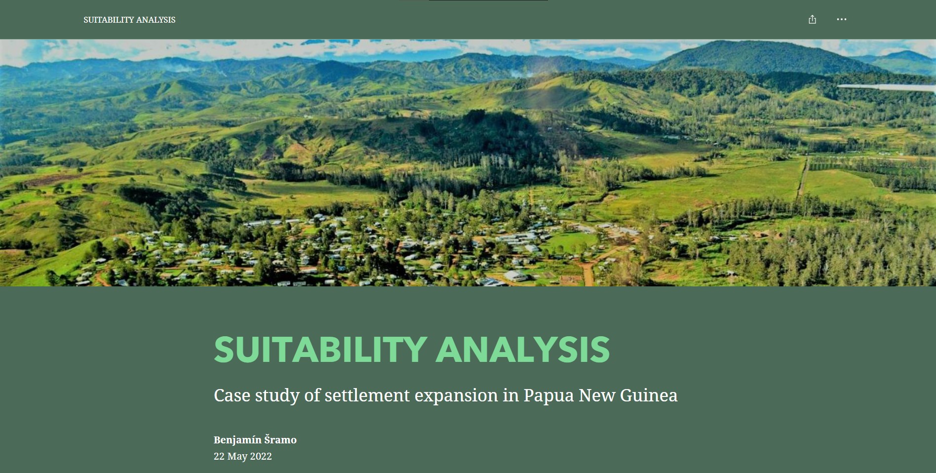
Geographic Information Technology Training Alliance defines the suitability analysis as an evaluation of the suitability of a location or area for a certain use. The suitability map is the result of the analysis. It represents the spatial distribution of the suitability score based on selected criteria. The result serves as a ground for further application use cases. The steps for the analysis are explained in the case of the suitability for the settlement expansion through ArcGIS Suitability Modeler and Locate Regions tools.
Click on the image to explore the story map.