
3.‒ 5. April 2023 in Olomouc, Czechia
Symposium ICA Spring
The main topic and subtitle of the symposium was "Atlases: their design and use". The event offered 42 oral presentations and three workshops, from which I could attend one. We could hear about research from cartographers from around the world. Keynote speakers were Timothy Trainor (ICA President), René Sieber (ETH Zurich), Robert Roth (University of Wisconsin-Madison) and local host Vít Voženílek (Palacky University in Olomouc).
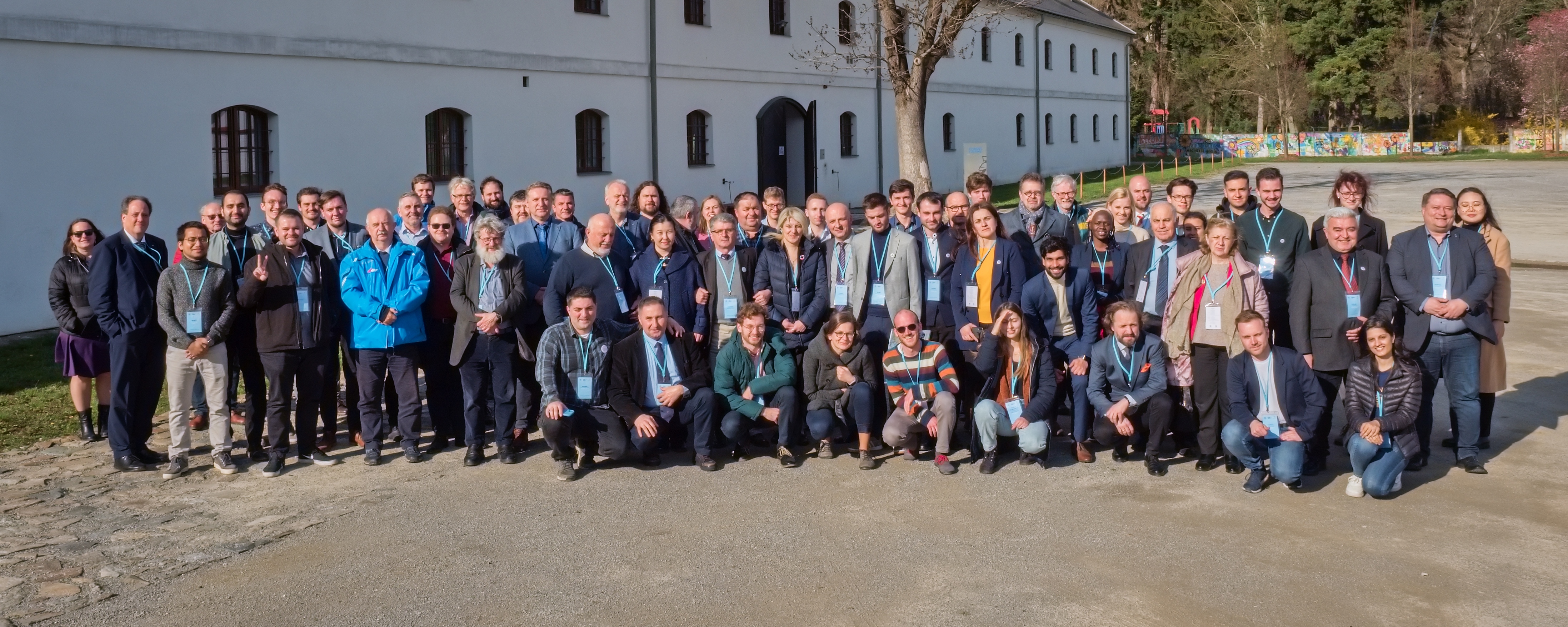
Group photo af all the attendees of the symposium (by Dejfix).
The symposium was rich in presentations about modern techniques on how to interact with map (atlas) users. Crowdsourcing seems to be a current phenomenon for atlas production e.g., SDGs in action by Jobst (Vienna), maps of informal toponymy by Vrblík (Liberec), Atlas of the World of ITC by Kraak and Listabarth (Twente).
Losang's (Leipzig) presentation on Participatory SDG Atlas Design proposed an idea about a platform with a structure ready for user interaction. Sieber (Zurich) developed the idea in the presentation about an online Storytelling atlas (Atlas of Switzerland) where the story is customizable by the user based on chronological order or spatial distribution. Similar storytelling "mobile atlas" was presented by Roth and Baldrica-Franklin (both from Wisconsin-Madison) where they stressed the importance to vary the voice of an atlas, and the good habit to start from a local scale and to loop back to the local scale with the knowledge user has gained on the tour.
Interesting presentations were given about the atlas content. Especialy I liked a polemic by Kolejka (Brno) on the importance of synthetic and complex maps in school atlases. He argued that there are many interesting topics missing in school atlases and the maps presented are too simple to provide a basis for discussion on nowadays hot topics.
Part of the program was also the release of a new text book "The Atlas Cookbook" issued by ICA and the collective of authors. The book is the first of its kind and provides solid knowledge about the atlas production in general.
The workshop, I attended, was held by Šašinka (Brno). The group around Masaryk Univesity created a tool for a collaborative immersive virtual environment for educative purposes: eDIVE. We could experience hands-on the innovative educative approach and experience the potential strengths and threats of teaching geography in such a way.
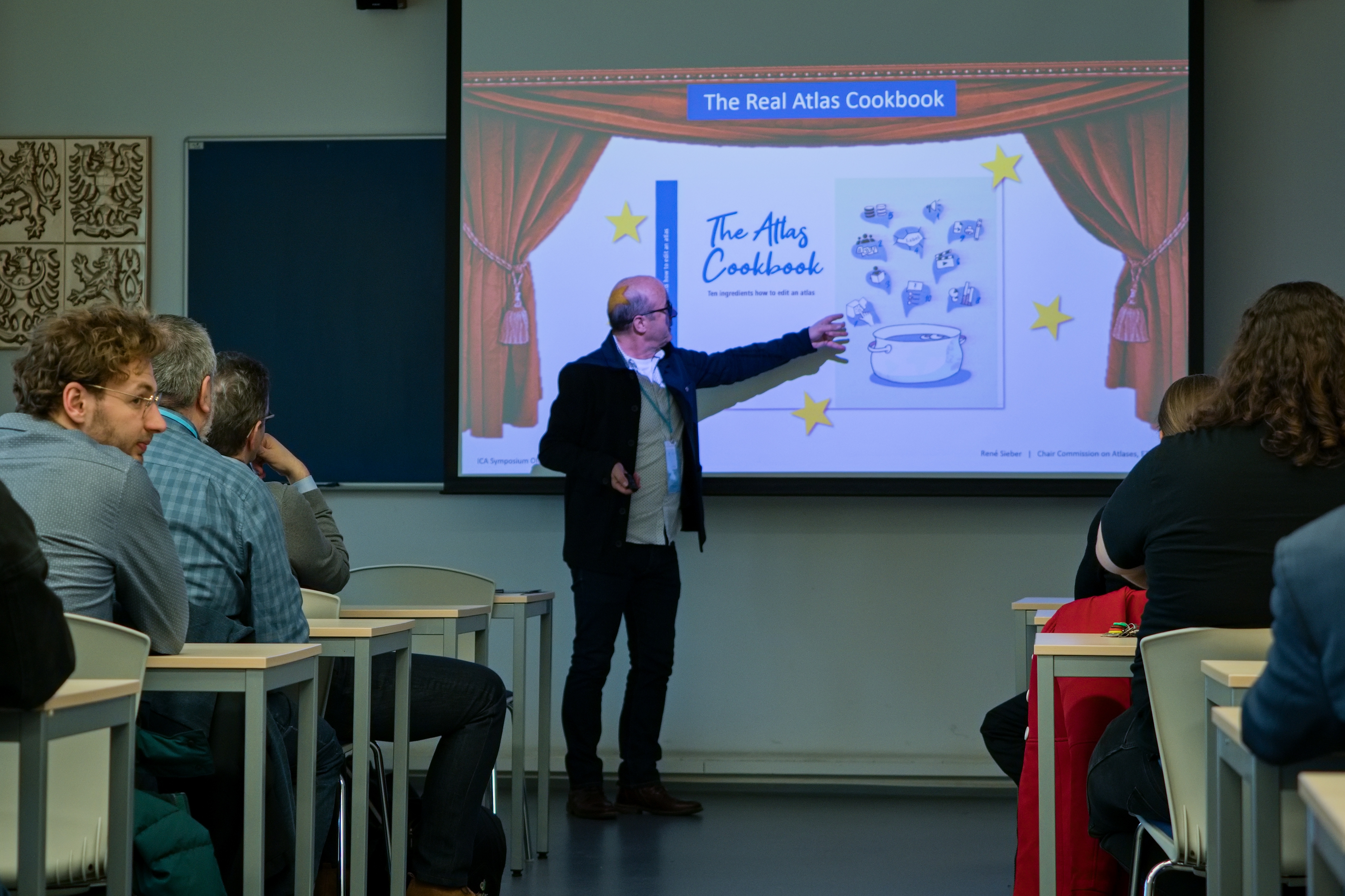
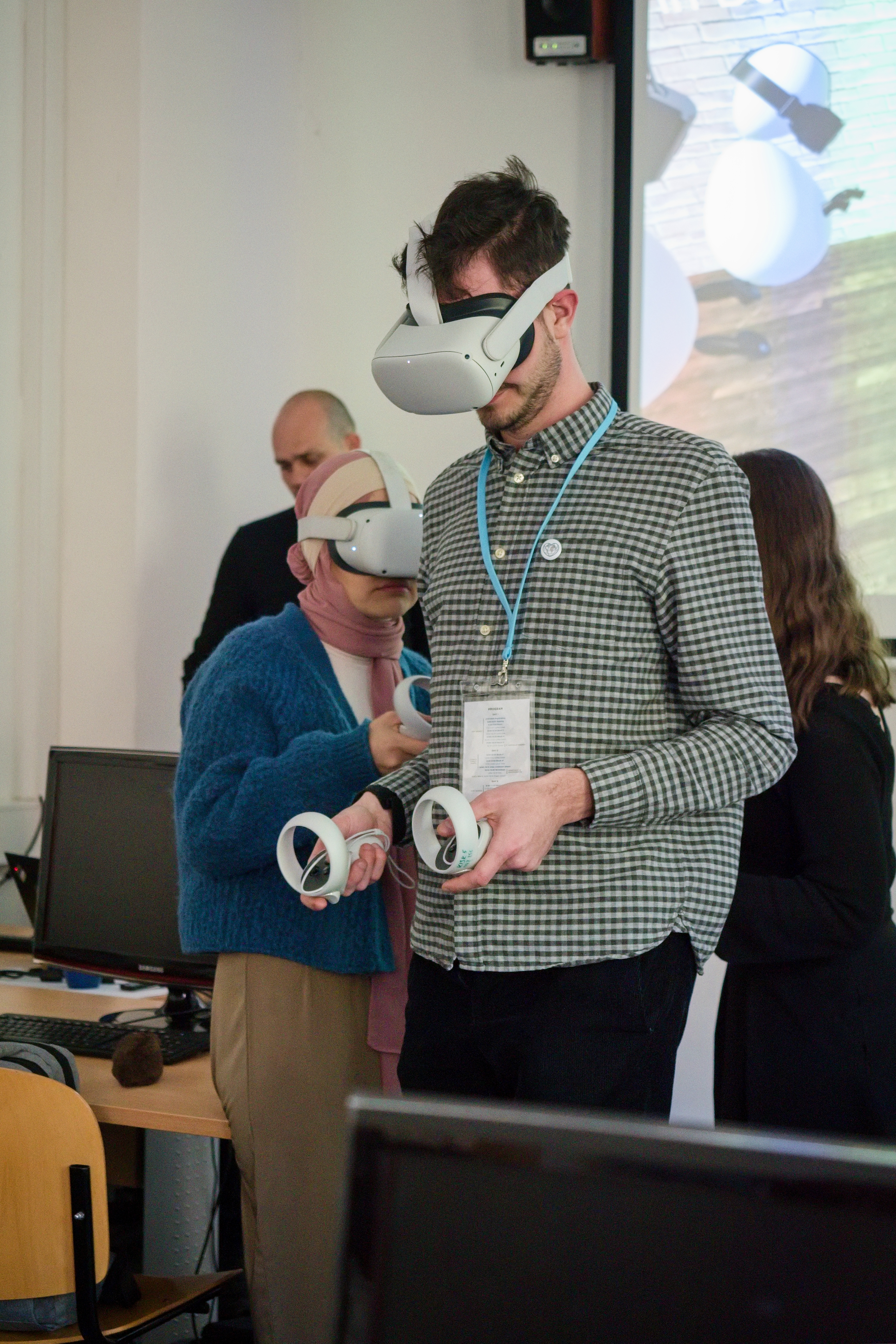
Left: Sieber presenting the new book. Right: Benjamin testing educative VR at the workshop (by Dejfix).
Part of the symposium was also the exhibition of atlases which was very interesting to me. I appreciate also that I could hear from different "schools of cartography" and recognise different emphases and levels of development across the globe.
Lastly, I would like to thank Prof. Voženílek that he brought the elite of cartographic production to Olomouc. I believe that a similar-sized event would not happen in Olomouc for years. I felt honoured to be part of the symposium.
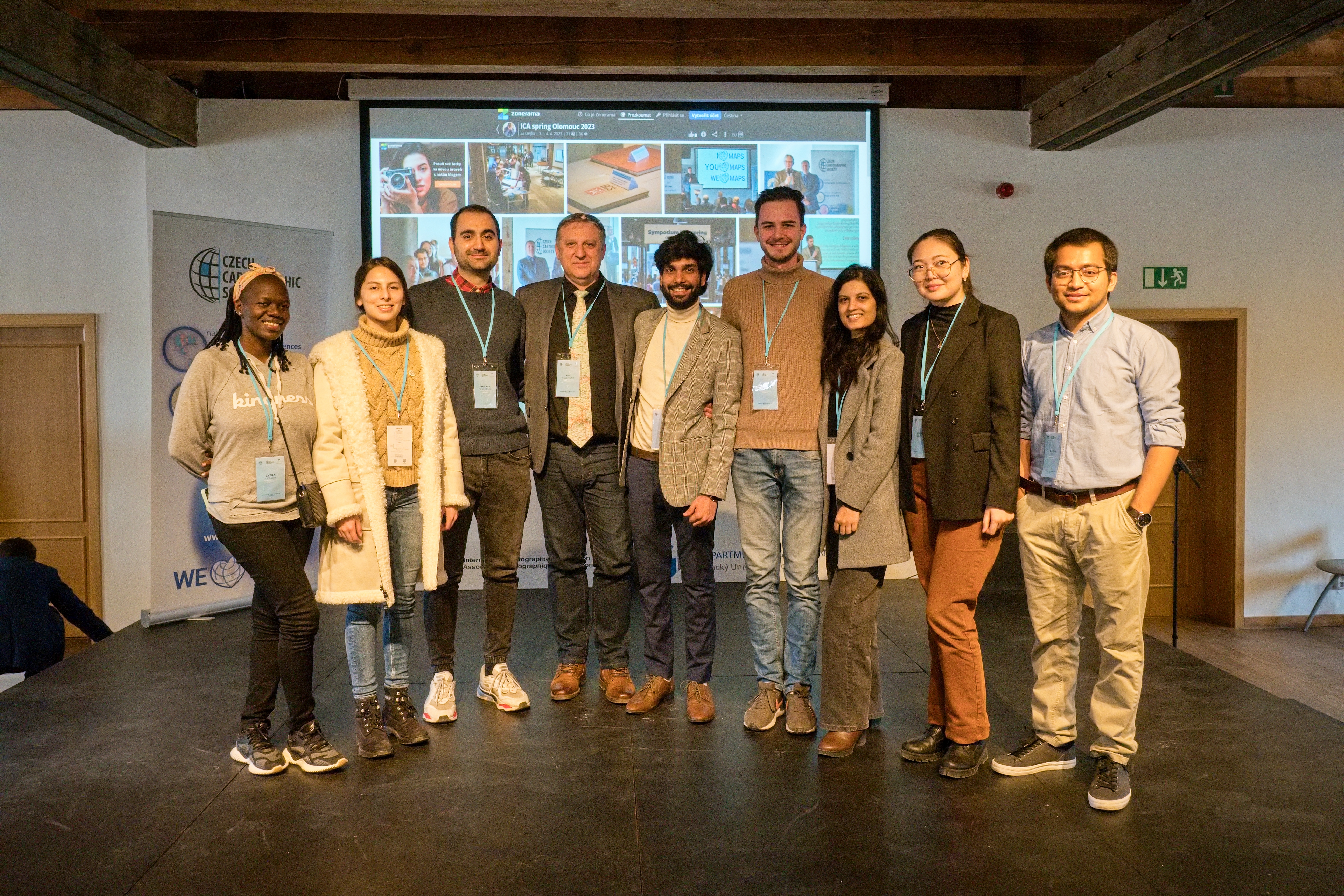
Geovisualization track of CDE Master with Prof. Voženílek (by Dejfix).
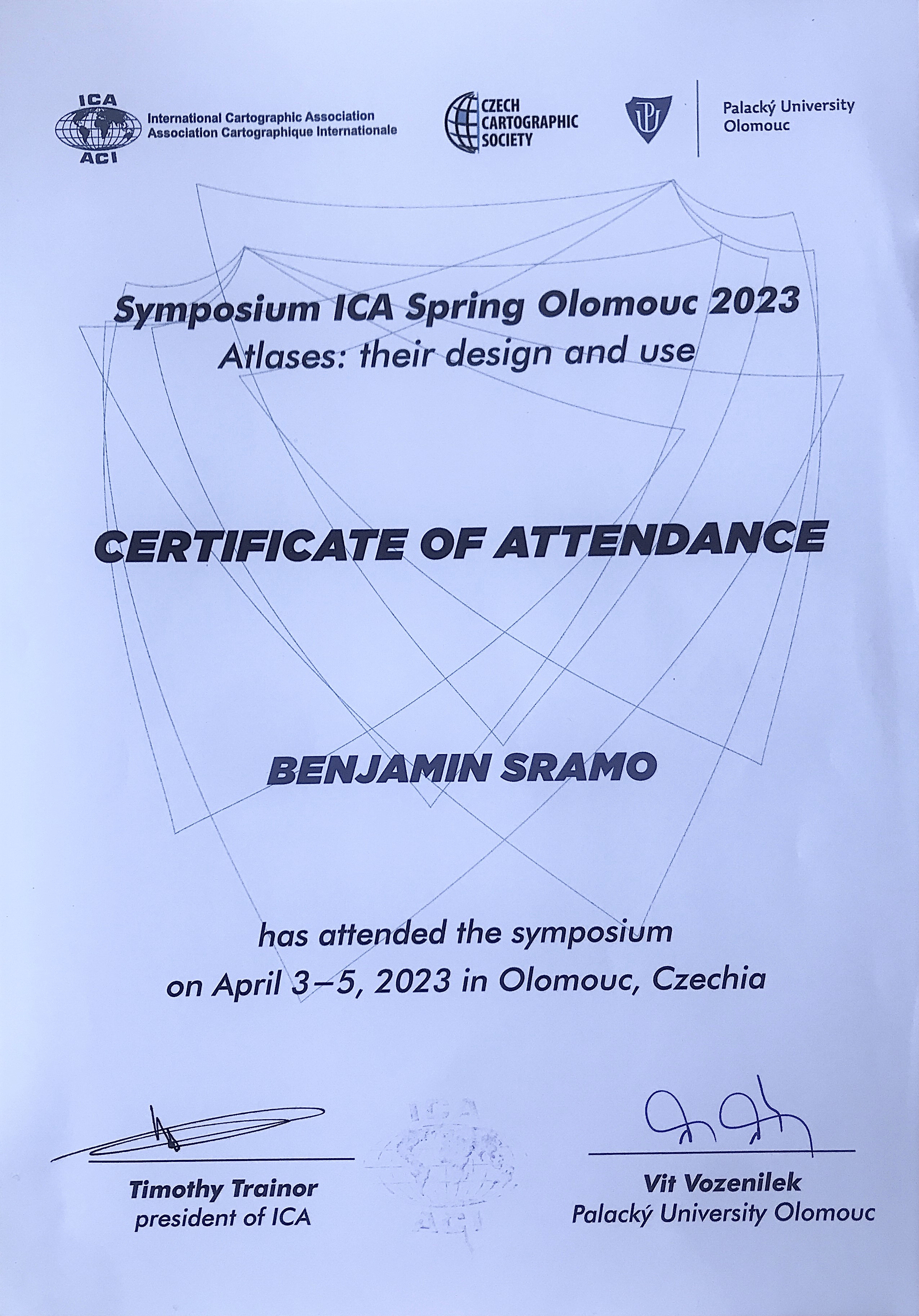
Cartificate of attendance.